Eclectic Solutions


-

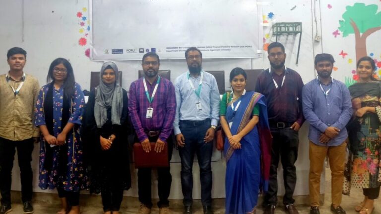
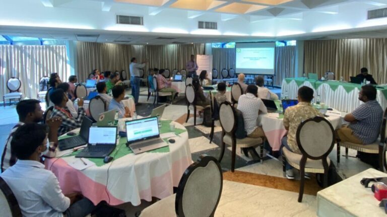
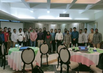
GMGI just hosted one-day session titled “Mauza Georeferencing and Digitizing using ArcGIS” on, November 15th,2022.
Students with an interest in GIS attended the session, which was designed to assist them in gaining in-depth knowledge and techniques in digitization and georeferencing.A huge thank you goes out to all of the eager participants who came and stayed patient throughout the event.
November 15, 2022 -
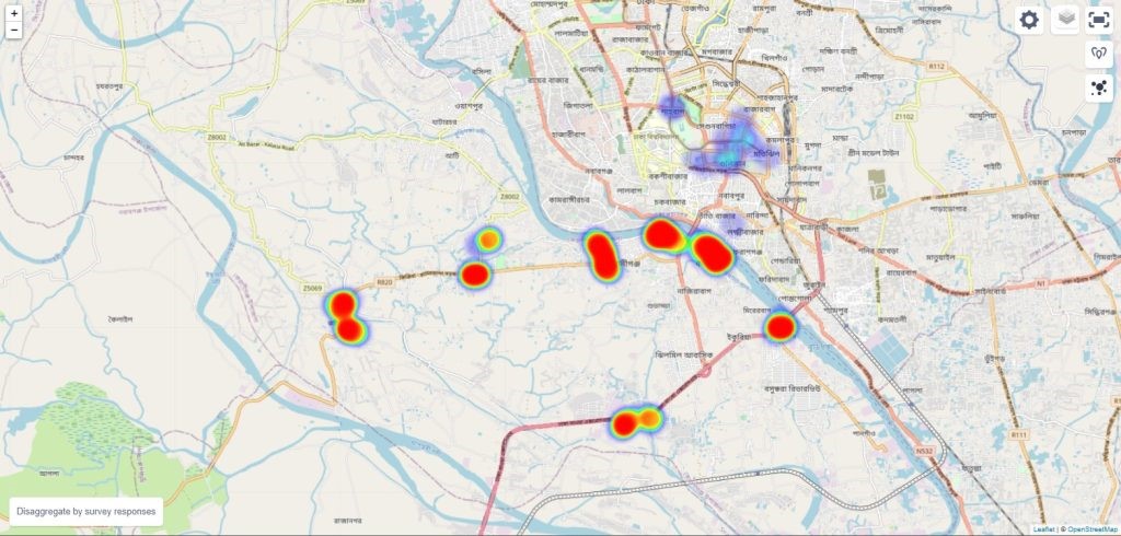
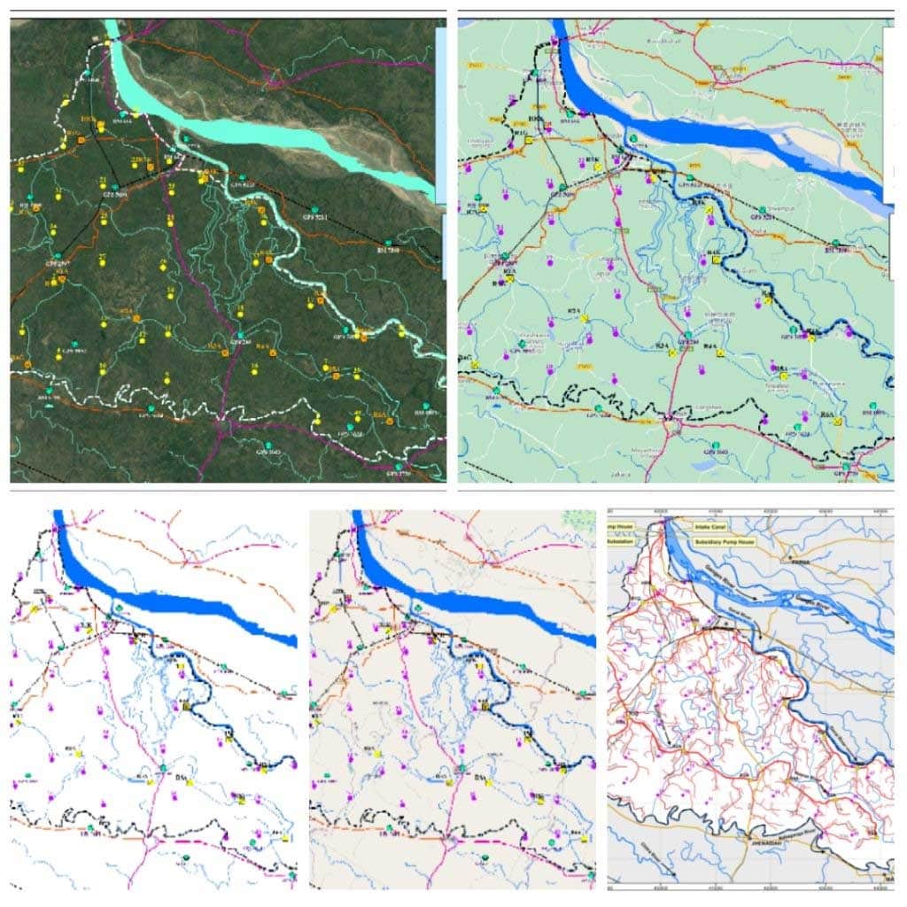
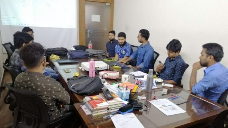
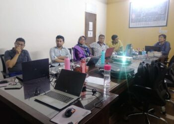
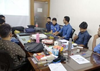
3 Days Training on QGIS Applied to WASH in Humanitarian Settings at Cox’s Bazar, Bangladesh
3 Days Training on QGIS Applied to WASH in Humanitarian Settings at Cox’s Bazar, Bangladesh for German Red Cross Bangladesh Delegation, International Federation of Red Cross and Red Crescent Societies, Bangladesh Red Crescent Society(BDRCS)
November 5, 2022 -
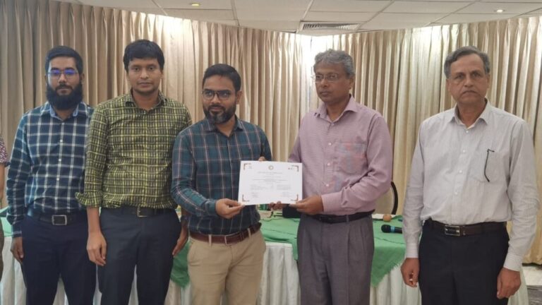
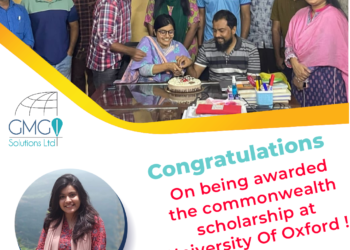
Afrida Asad Abonty, director, GMGI Solutions Ltd, has been awarded the prestigious Commonwealth Scholarship this academic year!
We are thrilled to share the news that Afrida Asad Abonty, director, GMGI Solutions Ltd, has been awarded the prestigious Commonwealth Scholarship this academic year! She will begin her Masters in Global Health Science and Epidemiology University, Nuffield Department of Population Sciences, University of Oxford in this October, 2022. Her higher education will motivate the
October 23, 2022


- All
- Potential
- Ongoing
- 2022
- 2021
- 2020
- 2019