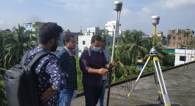
The UAV Survey was done to acquire stereo images (360 panorama photos) in the Study Area. The study area was derived into grids for the smooth operation of the UAV. This was a required step because the UAV cannot fly longer than 30 minutes due to technical restrictions.After which semi-permanent markers were established such that they were visible from the UAV. After the image acquisition, it was processed into Orthophotos as GeoTIFF of the Study Area with at least 5 cm GSD or lower. The Digital Surface Model (DSM) and the Digital Terrain Model (DTM) of the Study area were created. Highly precise Ground Control Points (GCP) were collected from these markers for image Geo-rectification using GNSS-RTK Method.