Offering Courses
Course Content:
Module 1: Introduction of ArcGIS Interface and Interacting with Maps
Module 2: Interacting with Data
Module 3: Exploring online Resources
Module 4: Working with Coordinate System and Projections
Hands-on Georeferencing
- Coordinate Map Georeferencing
Module 5: 2) Mouza Map Georeferencing
Module 6: Symbolizing Features and Classifying Features
Module 7: Labeling Features
Module 8: Building Geodatabases
Module 9: Creating and Editing Feature (Digitizing)
Module 10: Querying Data (Attribute Operation)
Module 11: Joining and Relating Data
Module 12: Preparing Data for Analysis (Dissolving Feature, Clipping layers, etc.)
Module 13: Geoprocessing Vector Data (Buffering Feature, Overlaying data, etc.)
Module 14: Using Spatial Analyst
Total Class: 12, Total User Manual: 14, Supporting Recorded Video: 3
Course Content:
Module 1: Basic RS tools in ArcGIS, Envi, Erdas Imagine
Module 2: Sample Data: Download Satellite data
Module 3: Atmospheric Correction
Module 4: Fundamental of Image Processes
Module 5: Example Project
Module 6: Intermediate and advanced Image Processes
Module 7: Image Classification
Module 8: Hyperspectral Analysis
Module 9: Change Detection (shoreline, vegetation, lake, river, temperature)
Module 10: Making a Satellite Image Basemap for MapTiler
Total Class: 10, Total User Manual: 10, Supporting Recorded Video: 3
Course Content:
Module 1: Introduction
- Leverage Python in ArcGIS
Module 2: Python for ArcGIS Basics
Module 3: Strings, Numbers, and Variables
Module 4: Syntax Rules
Module 5: Manipulating Strings
Module 6: Object-Oriented Programming
Module 7: Using Loops
Module 8: Generate Log Files
Module 9: Input at Run Time
Module 10: Help Documents
Total Class: 12, Total User Manual: 12, Supporting Recorded Video: 12
Course Content:
- Mapping Fundamentals
- Processing GIS Data from Excel
- Working with GIS Data Formats
- Static Maps with ggplot2
- Interactive Maps with Leaflet
- CRS, Projections, and Map Tiles
- Total Class: 6, Total User Manual: 6, Supporting Recorded Video: 6
Course Content:
Course Content
Module 1: Getting Started
- What is KoboToolbox
- Creating an account on KoboToolbox
- The KoboToolbox Interface
- Overview of Creating and Managing Project in Kobotoolbox
- Quick Start Overview
Module 2: Creating Form
- Creating a New Form
- Editing Forms in Excel using XLSForm
- Getting Started with XLSForm
- Importing a XLSForm via URL
-
Overview of All Formbuilder Functions
Module 3: KoboToolBox on Your Computer or Server
● Software Architecture
● Installing KoboToolbox on a Local Computer
● Installing KoboToolbox on Your Own Servers
Module 4: Managing data in KoboToolbox
-
Project Summary
-
Record Validation
-
Deleting a Project
-
Exports Stuck in Pending State
-
Exporting and Downloading Your Data
Module 5: Collecting Data
-
Overview on Data Collection Tools
-
Recording an Entire Interview with Background Audio Recording
-
Collecting Data through Web Forms
-
Collecting Data Offline
-
Data Collection on KoboCollect App
Course Duration: 15 Hours
List of Instructors

M.I.M Farhad

Md. Nurullah

Afrida Asad

Md Ismail Hossain

Md Nafiz Imtiaz

Md. Rashed Alam
(Managing Director, GMGI Solutions Limited) Areas of expertise -GIS and Remote Sensing -RTK with Drone Survey -Photogrammetry Academic Qualification -B.Sc, MS (Geology), DU -Master’s in Disaster Management (DU)
(GIS Database Update Technician at MORU) (Freelance GIS Consultant at ZDCP, CDC, DGHS) (Director at GMGI Solutions Limited) (Core Expert Member at GroupMappers) Areas of expertise -Highly skilled in kobotoolbox -Data Management -GIS and Remote Sensing Academic Qualification -B.Sc, MS (Geography), DU
(Volunteer of GroupMappers) (Director of GMGI Solutions ltd) (Social Enterprise Entrepreneur) (Commonwealth scholar) Areas of expertise -Geographer and Health Science Specialist Academic Qualification -Master’s Student at the University of Oxford (Epidemiology) -Ms in Buet (Institute of Water and Flood Management) -BSc and MSc in DU (Geography)
(GIS Developer at GMGI Solutions Ltd) Areas of expertise -Web GIS Development -GIS and Remote Sensing Academic Qualification -B.Sc, MS (Geography), DU
(GIS Analyst at GMGI Solutions Ltd) Areas of expertise -GIS and Remote Sensing -Cartography Academic Qualification -BSc, MS (Geology), DU
(Junior GIS Analyst at GMGI Solutions Ltd) Areas of expertise -Experience in GIS and Remote Sensing Academic Qualification -MS in GIS for Environment and Development (JU) -B.Sc. in Oceanography (BSMRMU)
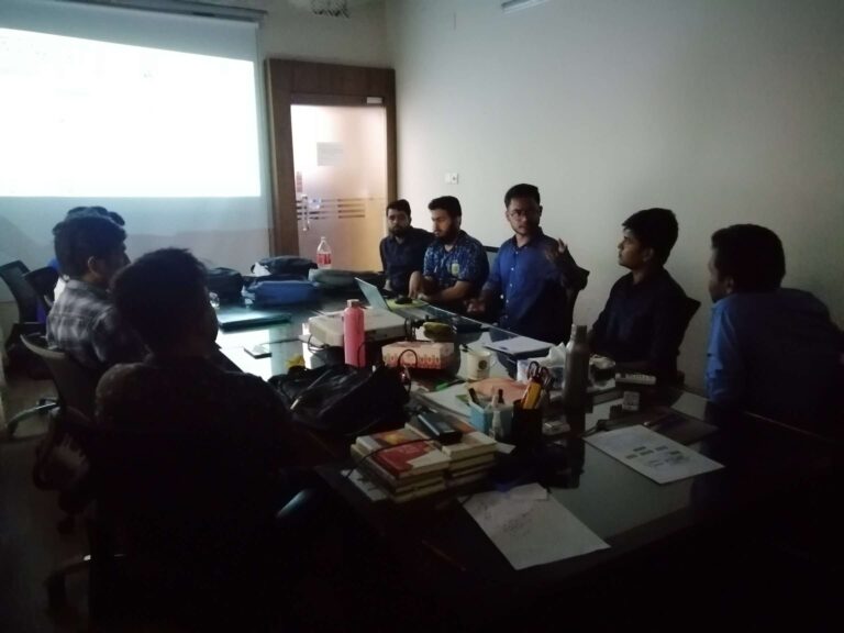
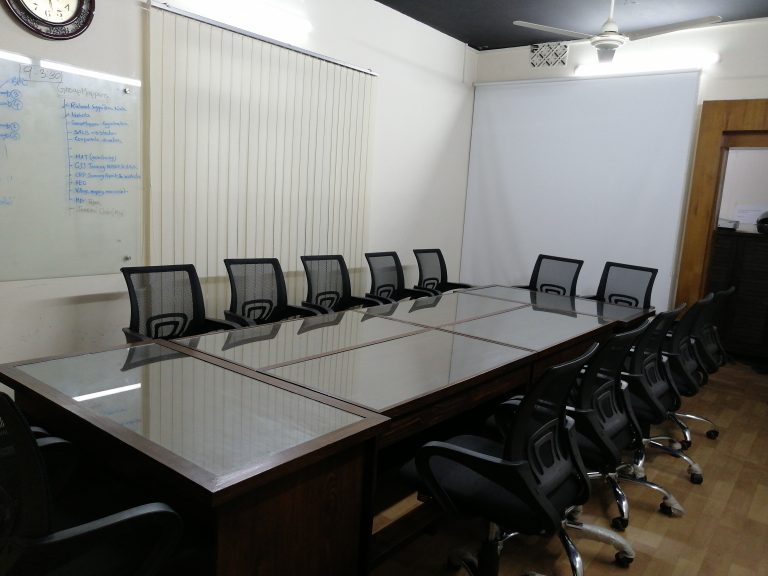
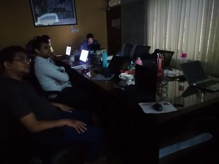
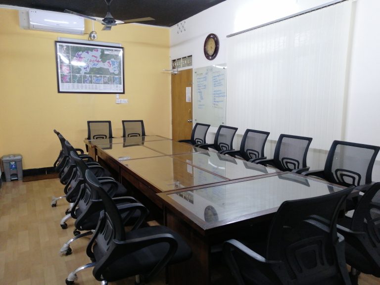
Training Facility
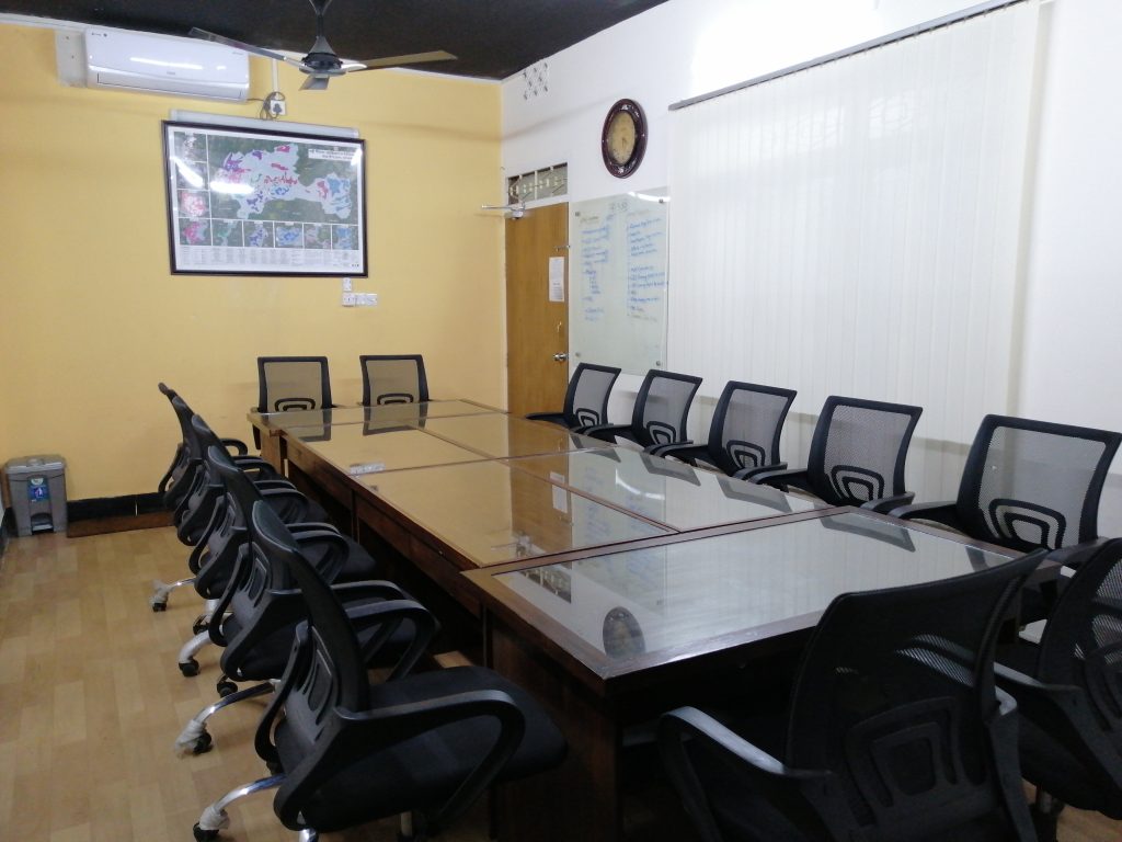
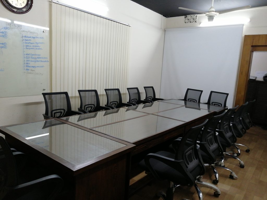
- Elegant Learning Environment
- Lecture Delivery by Projector
- Air Condition facility in Classroom
- Materials (Slide, PDF)
- Practice Code (All codes provide, if it is required)
- Online and Offline Training Facility
- Lifetime Studentship
- Recording Video for offline Classes (If it is required)
- Opportunity for Job Placement after Training
- Certification
Completed Training
Review
Mohammad Al Razi
Name: Mohammad Al Razi
Post: Assistant Director (Geology)
Organization: Geological Survey of Bangladesh
Email: alrazi1009.geology@gmail.com
Review on “The Hands on Training on GNSS RTK Operation for Mapping & Surveying & Photogrammetric Data Processing”
“The Hands on Training on GNSS RTK Operation for Mapping & Surveying & Photogrammetric Data Processing,” organized by GMGI Solutions Limited and trained by MIM Farhad, was an excellent program. The trainer was highly skilled and provided comprehensive knowledge in the use of GNSS RTK equipment and photogrammetric data processing. Participants gained practical skills and left with a deeper understanding of the topic. Overall, the program was well-structured, informative, and practical.
Anayet Karim
Name: Anayet Karim
Post: Drilling Supervisor
Organization: Groundwater Relief
Email: anayet09k@gmail.com
Review of “The UAV/Drone Operation & Data Processing for 3D Digital Mapping and Surveying” training
“The UAV/Drone Operation & Data Processing for 3D Digital Mapping and Surveying” training by GMGI Solutions Limited and MIM Farhad was excellent. It covered all aspects of UAV operations and data processing, and the hands-on approach was particularly helpful. I highly recommend this training for anyone interested in using drones for professional purposes. Thanks to the organizers and trainer for the valuable learning experience.
Md. Mofijul Islam
Name: Md. Mofijul Islam
Post: Senior IM Officer
Organization: Bangladesh Red Crescent Society
Email: mofijul.islam@bdrcs.org
“The QGIS Training Applied to WASH in Humanitarian Settings in Cox's Bazar” was an extensive and practical program that provided a deep understanding of QGIS and its applications in WASH. The trainers were highly knowledgeable and focused on the specific challenges of the Cox's Bazar region. The course covered essential concepts, data management, and analysis techniques, which were instrumental in comprehending the complexities of WASH in humanitarian settings. The well-designed course structure gave useful insights into QGIS and WASH. Anyone interested in learning about WASH using QGIS should check out this program, in my opinion.
Md. Khairul Bashar
Name: Md. Khairul Bashar
Post: WASH Manager,
Organization: Bangladesh Red Crescent Society (BDRCS)
Email: khairul.bashar@bdrcs.org
I found the QGIS training course on WASH in humanitarian settings to be an insightful and informative program. The trainers were knowledgeable and provided hands-on training on QGIS applications in WASH, with a specific focus on the Cox's Bazar region. The course content covered essential concepts, data management, and analysis techniques, which were helpful in understanding the unique challenges of WASH in humanitarian settings. Overall, the course was well-designed, and I would highly recommend it to anyone interested in QGIS and WASH."