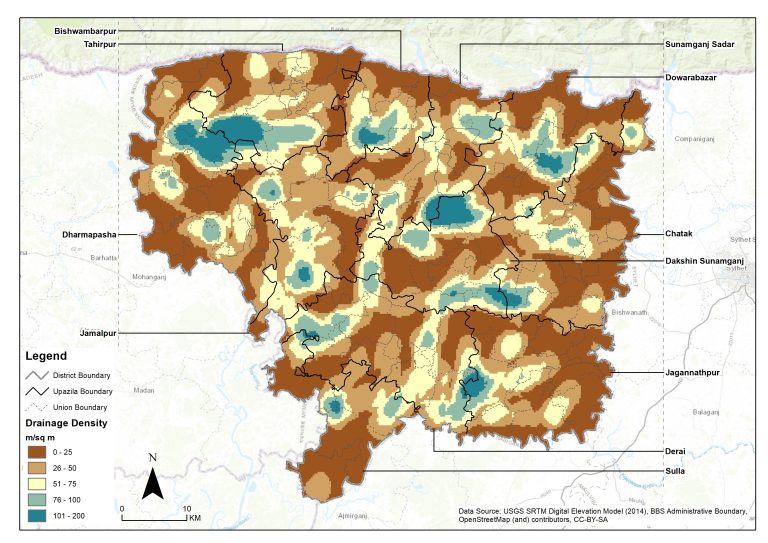
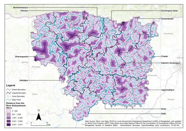
Services like data gathering, analysis, and presentation—often in the form of maps—are referred to as research and mapping services. GMGI Solutions Ltd. provides services that can be used for a wide range of purposes, such as urban planning, natural resource management, market research, and more.
Research services include, for instance:
-
Analysis of geographic information systems (GIS), which uses software to analyze and visualize spatial data
-
Using satellite or aerial imagery, remote sensing collects data about the Earth's surface.
-
Surveying and field data collection, which involves taking measurements directly on the ground to collect information
-
Studying a population's characteristics through demographic analysis
-
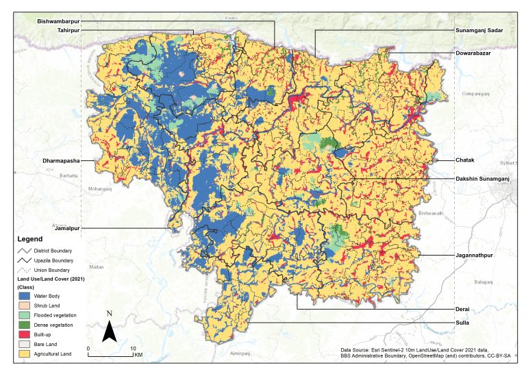
Land use land cover (LULC) mapping for a area of interest
