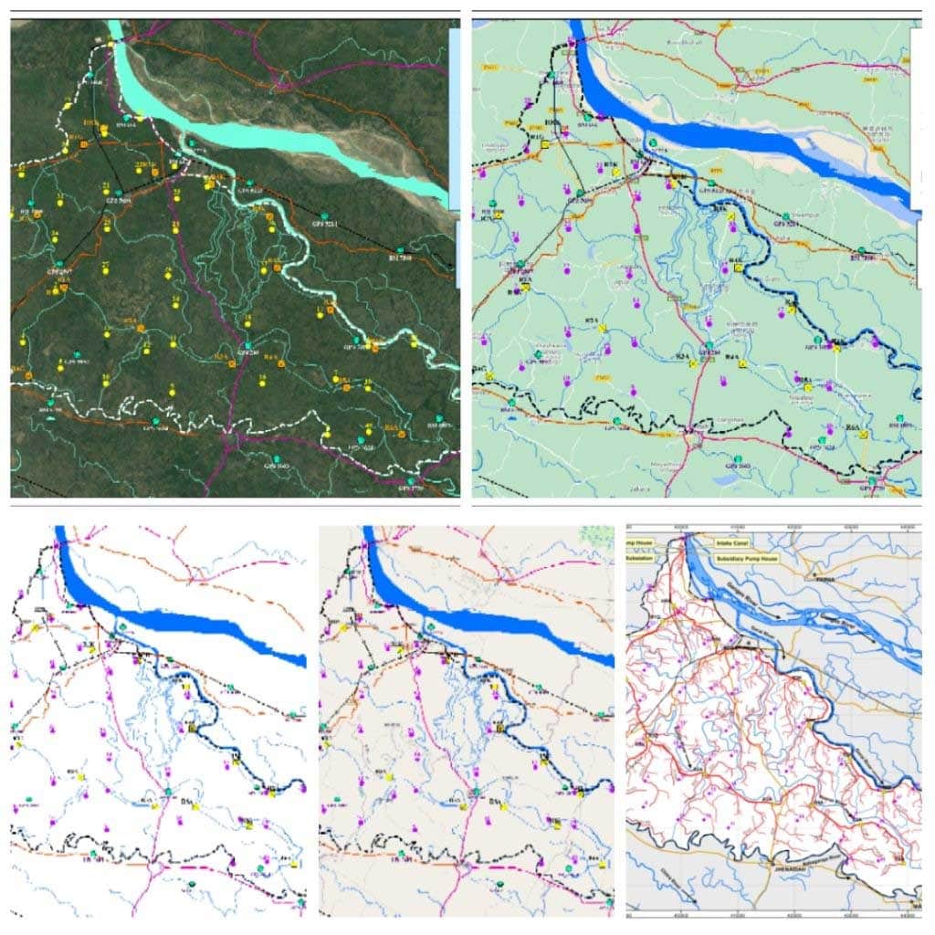
The goal of this project was to Collect highly precise Ground Control Points (GCP) for image Geo-rectification using the GNSS-RTK Method. This work is a part of the irrigated project undertaken in Kustia, Chuadanga, Magura, Jhinaidah districts. The GMGI Solutions Ltd.) was tasked with GCP acquisition which would later be used for georeferencing and image processing.
Prior to the survey of 40 targets, RTK points were suggested. A base map was created indicating the target ground control points, possible Benchmarks and regulators.
In order to collect the GCP points, a benchmark (BM) was set up and a relative level (RL) was selected based on the regulator reference level as per the instructions. After the set-up, the ground control points were collected in close proximity to the target points.
The deliverables were Ground Control Points, 4 images surrounding the GCP location and the sketch of the RTK survey.
