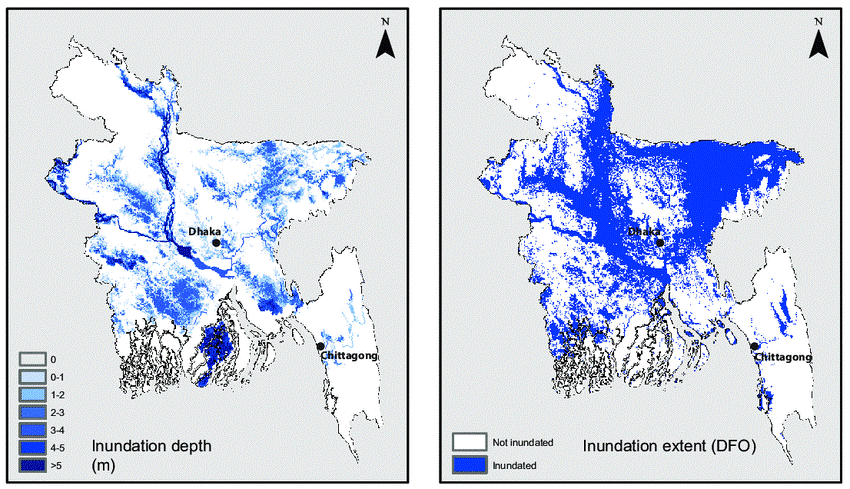
A flood risk assessment (FRA) is a document that analyzes and evaluates all types of flooding risks to and from a development proposal in order to determine the danger of flooding from groundwater, river (fluvial), surface water (pluvial), estuary/coastal (tidal), or sewage sources.
For the training purpose, the risk of north east Bangladesh (Haor basin) is assessed for pre-monsoon flood by developing an integrated risk model. GIS based multi-criteria decision analysis and analytical hierarchy process (AHP) are used in the flood risk mapping. For flood risk mapping, flood hazard and flood vulnerability map are created.
